From vision to reality: designing a map to context-set a Smithsonian exhibit
During my contract with the Smithsonian Anacostia Community Museum, I had the opportunity to contribute to the traveling exhibit Capturing Anacostia.
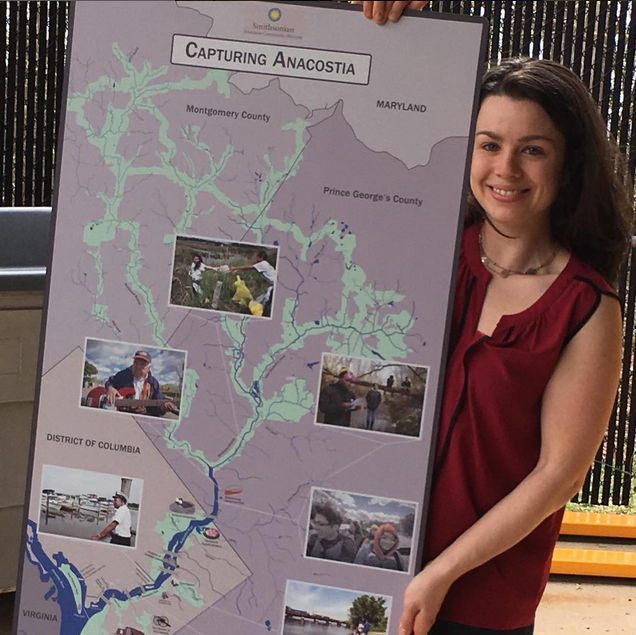
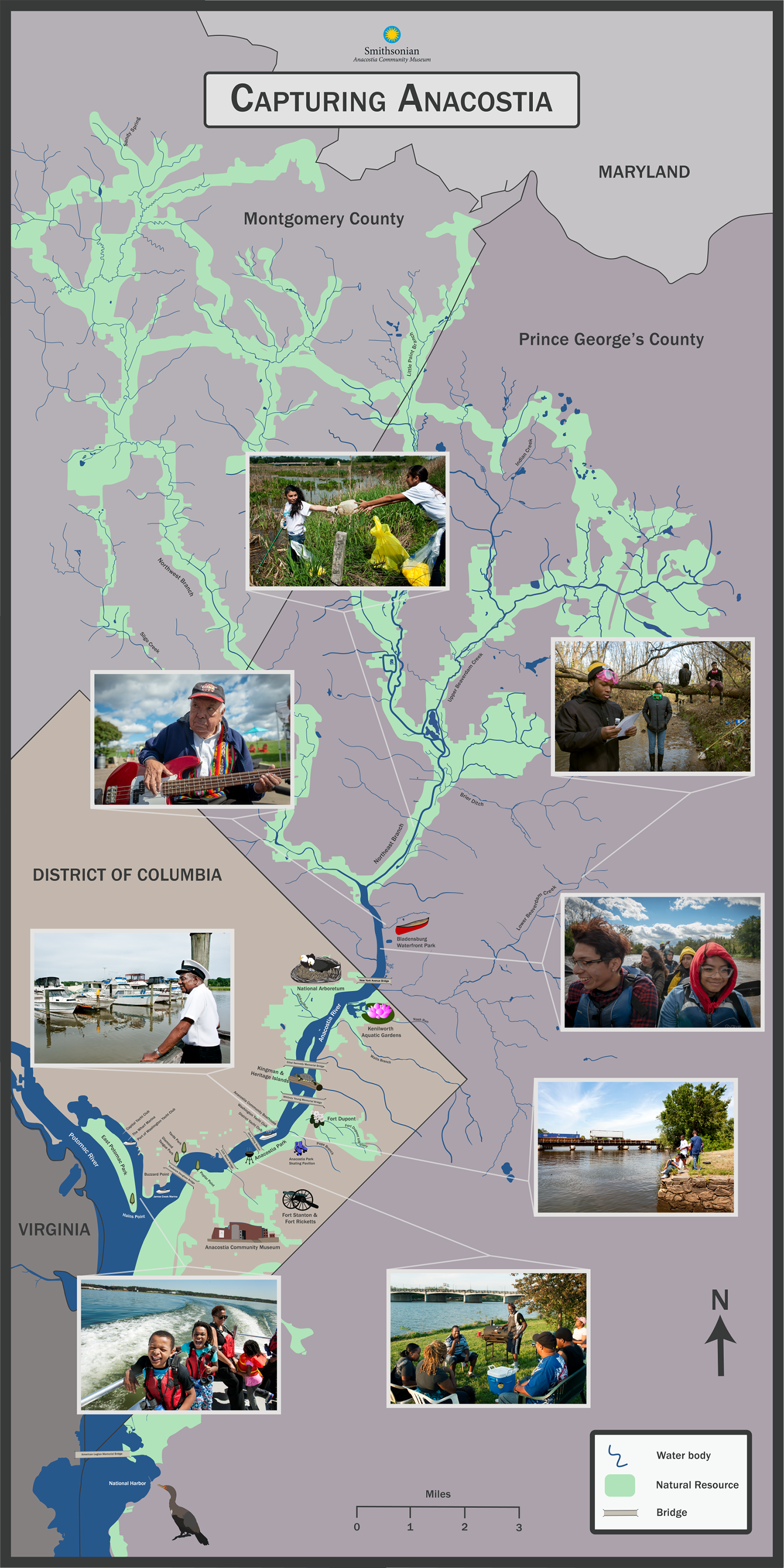
Initially tasked with creating mockups based on provided photos, I identified a critical gap in the exhibit: the absence of a map to contextualize the images. Recognizing the importance of grounding the exhibit in its geographic and cultural setting, I designed a map mockup and pitched the idea to museum leadership. I was thrilled when they approved my vision.
Drawing on my personal and professional experiences in the Anacostia watershed, I designed the map using a blend of technical tools and creative approaches.
Interacting with the exhibit
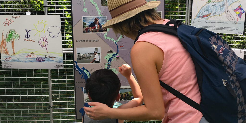
Capturing Anacostia debuted at the annual Festival del Río Anacostia, held at Bladensburg Waterfront Park in Maryland. As I prepared for this family-friendly event, I brainstormed ways to make the exhibit more interactive, particularly for youth.
Drawing on my background as an environmental educator, I developed an activity inviting visitors to create their own exhibit pieces. I designed templates with prompts encouraging participants to reflect on their experiences along the watershed and envision its future.

Tools used
- ArcGIS: To create foundational map layers.
- Illustrator: For hand-drawn illustrations based on GIS layers, customized icons, and graphics.
- Xp-pen: For custom-drawn illustrations and map details.
- Photoshop: To edit and resize accompanying images.
Outcomes
The map was a highlight of the exhibit, with its success evident in how visitors engaged with it during display events. Its impact extended beyond the traveling exhibit, as the map was later repurposed for the museum’s evergreen outdoor exhibit.
The interactive activity was also a success. Youth illustrations inspired by the prompts were incorporated into the exhibit itself, transforming it into a dynamic, living display.
Capturing Anacostia Map


